Log in
All resources
Create a design
39 Free Artworks of Tierra Del Fuego
engravings of tierra del fuego
old maps of tierra del fuego
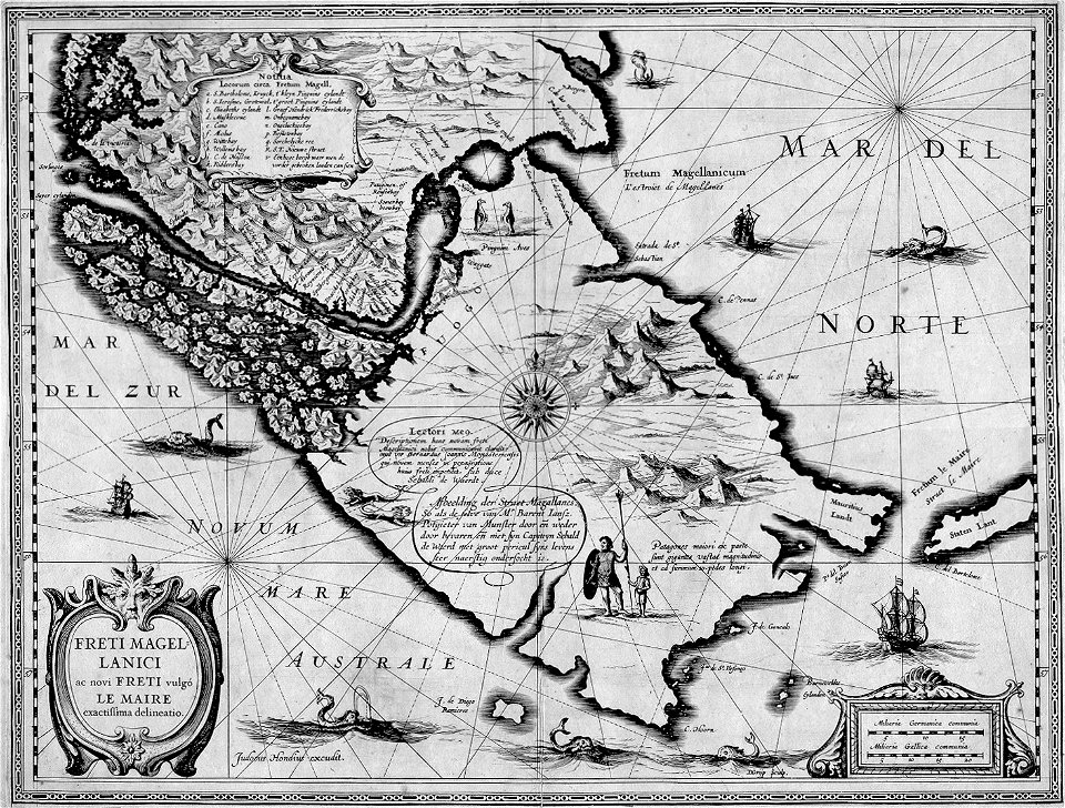
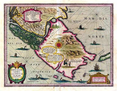
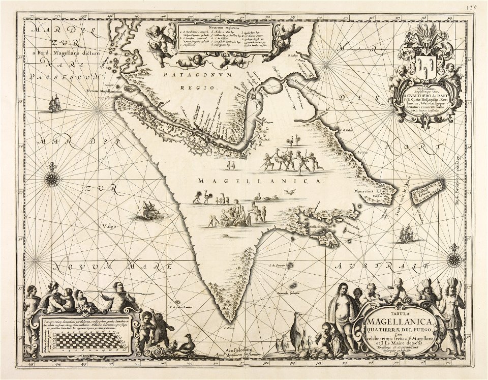
17th-century maps of the strait of magellan
popular science monthly illustrations/volume 36
maps by willem and johannes blaeu
bibliothèque nationale de france
engravings of patagonia
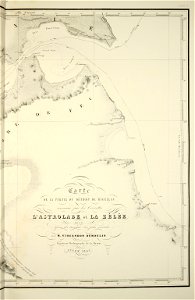
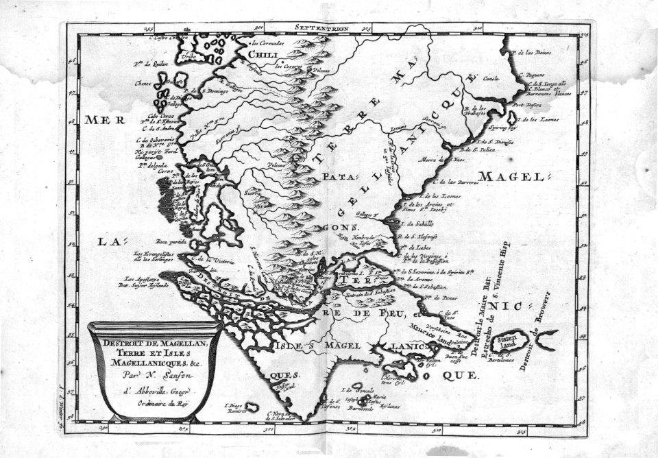
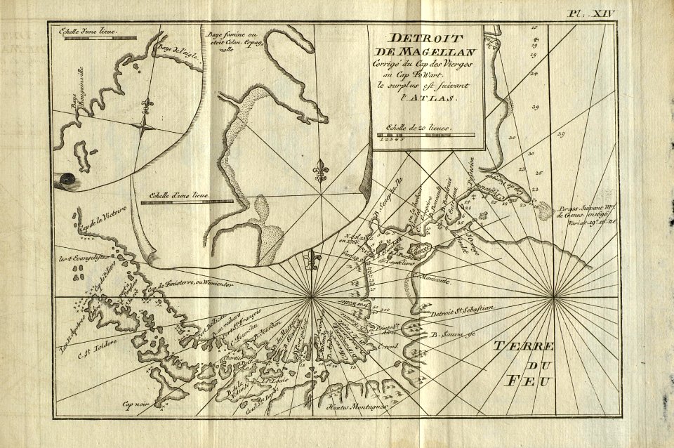
old maps of the strait of magellan
1628 maps
maps by jodocus hondius
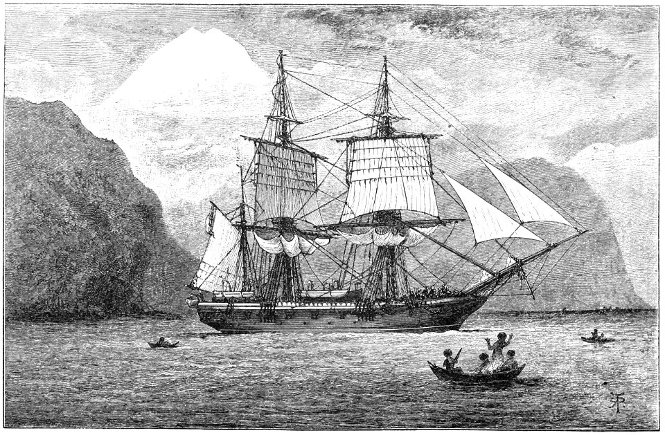
hms beagle (ship, 1820)
conrad martens
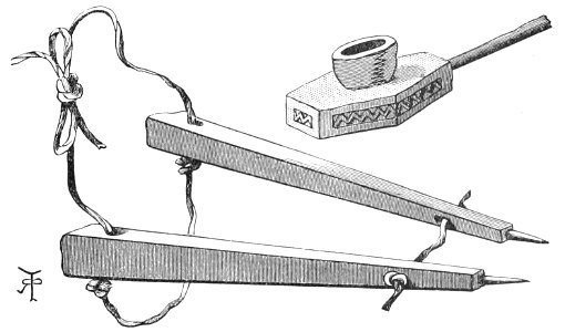
engravings of tierra del fuego
engravings of patagonia
popular science monthly illustrations/volume 36
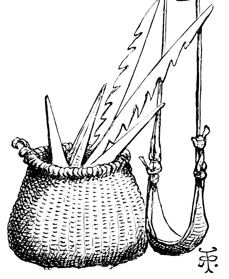
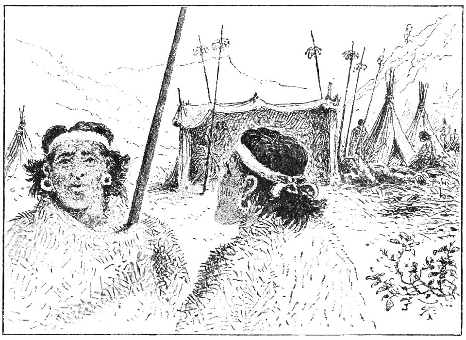
engravings of tierra del fuego
popular science monthly illustrations/volume 36
engravings of tierra del fuego
popular science monthly illustrations/volume 36
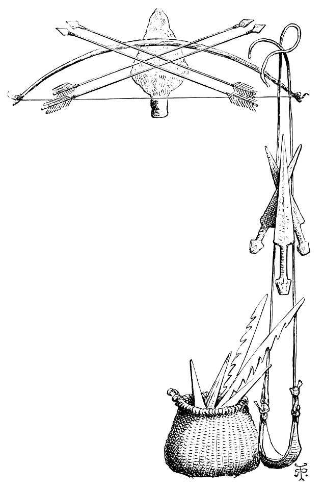
engravings of tierra del fuego
engravings of tierra del fuego
engravings of patagonia
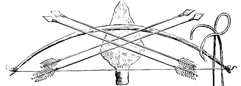
engravings of tierra del fuego
engravings of patagonia
maps by jodocus hondius
1628 maps
hms beagle (ship
1820
ships on maps
1628 maps
old maps of the strait of magellan
voyage au pôle sud
maps made in the 17th century
jan janssonius
giovanni battista cipriani
alexander buchan (artist)
tierra del fuego
prints
indigenous peoples of patagonia
william hodges
drawings made in the countries visited by captain cook in his first voyage (1769) - bl add ms 23920
images released by british library images online, march 2014
typus orbis terrarum
1572 maps
portrait of charles v (titian, national museum of capodimonte)
venetian school,high renaissance
engravings of nude males
de aarde en haar volken
maps by jodocus hondius
1628 maps
portraits of juan manuel de rosas
divisa punzó
gartenlaube (1881)
jean bungartz
17th-century maps of the strait of magellan
1635 maps
propaganda map
1529 maps
17th-century maps of the strait of magellan
maps by willem and johannes blaeu
17th-century maps of the strait of magellan
1640 maps of south america
drawings by jan van der straet
mannerism
old maps of tierra del fuego
description de l'universe
hms beagle (ship, 1820)
conrad martens
17th-century maps of the strait of magellan
maps by willem and johannes blaeu
bibliothèque nationale de france
sanson maps of south america
sanson maps of south america
1668 maps of south america
cartography
maps
17th-century maps of the strait of magellan
1668 maps of south america
illustration
maps
maps by willem and johannes blaeu
1610s maps of the americas
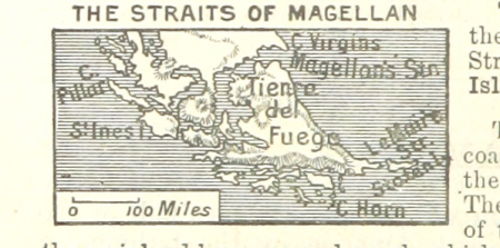
a class-book of modern geography (1898)
old maps of tierra del fuego
17th-century maps of the strait of magellan
maps in the rijksmuseum amsterdam
1807 maps of south america
maps by john cary
1 - 39 of 39
/ 1